An official website of the State of Georgia.


"Chattahoochee Bend State Park allows you to maneuver through the shoals of the riveting river, explore wooded trails teeming with unique plant and wildlife and embark on a natural journey that refreshes and revitalizes the spirit."
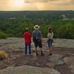
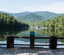
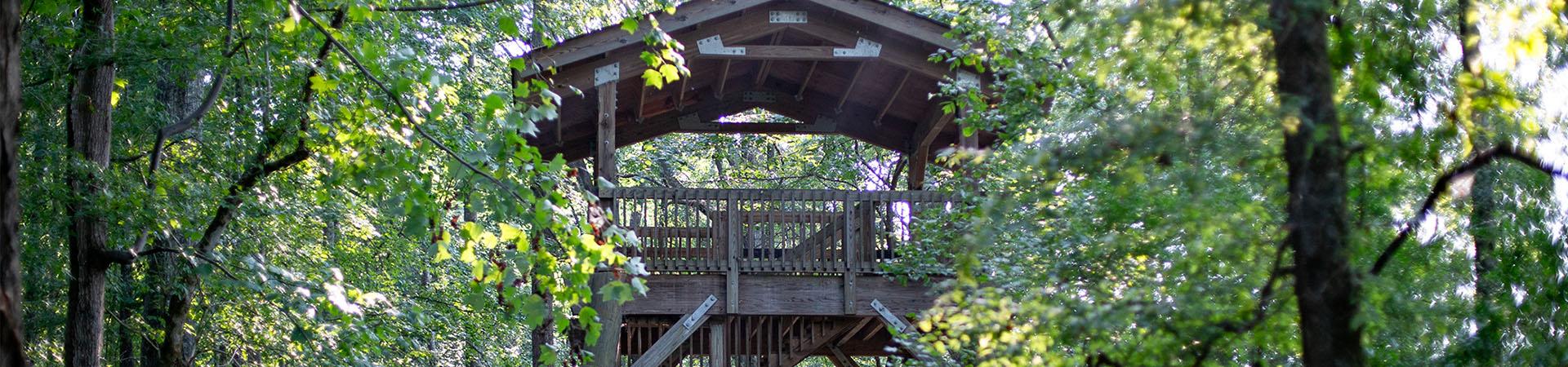
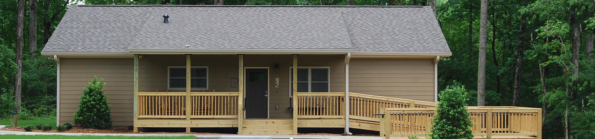
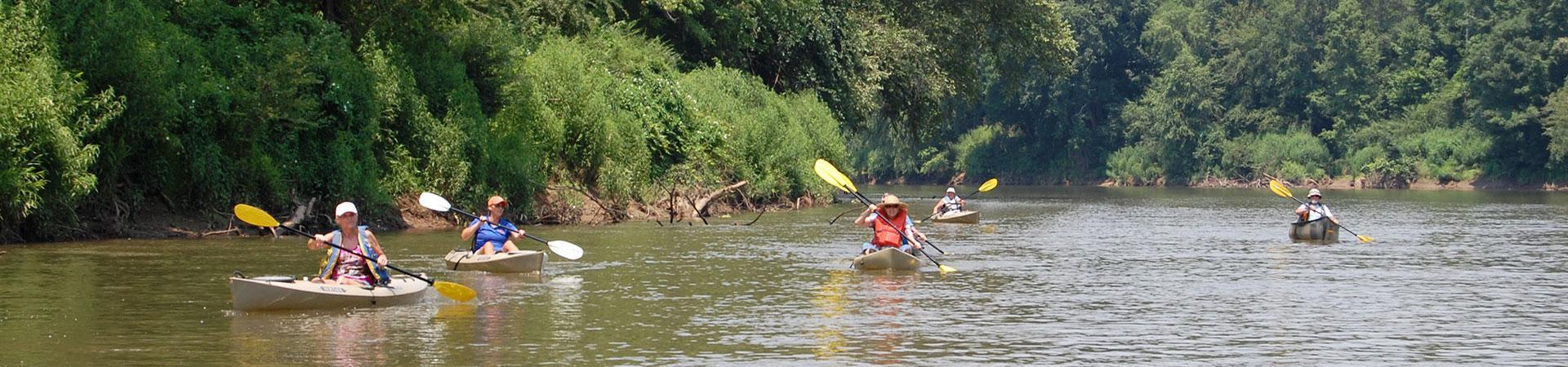
Chattahoochee Bend State Park showcases a spectacular tract of wilderness in northwest Coweta County. Located in a graceful bend of the Chattahoochee River, the park is a haven for paddlers, campers and anglers. At 2,910 acres, Chattahoochee Bend is one of Georgia’s largest state parks, protecting five miles of river frontage. A boat ramp provides easy access to the water, while the Riverside Trail offers a 5.5-mile hike along the river, allowing for a potential total hiking distance of up to 11 miles. An observation platform provides nice views of the river and forest.
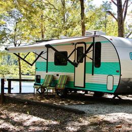
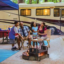
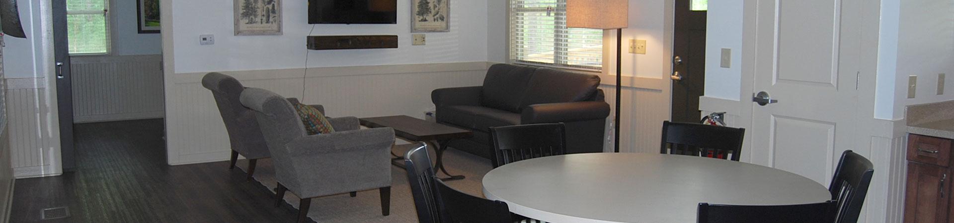
Although most of the park has been left in its natural state, campers have many options for staying overnight within park boundaries. RV owners will enjoy the camping section with sunny pull-through and back-in sites. Tent campers can choose from riverfront platform sites, walk-in sites and traditional developed campsites. The park even offers screened Adirondack-style shelters for families and groups who want a unique camping experience. Bathhouses with hot showers are a short walk from most campsites. Covered picnic shelters may be rented for birthday parties, reunions and other gatherings.
Reservations, Accommodations & Facilities
- 2,910 Acres
- 3 Cottages
- 37 Tent, Trailer & RV Campsites
- 12 Tent Walk-In Campsites
- 8 Platform Campsites
- 8 Backcountry/Paddle-In Campsites — 5.5-mile hike or paddle to campground. Required check-in/start time is 1:00 pm to arrive at camp before dark.
- 1 Adirondack Group Campsite (Before making reservations, call park for capacity limits.)
- 2 Picnic Shelters (Before making reservations, call park for capacity limits.)
- Boat Ramp
- Gift Shop
- Playground
Things To Do & See
- Biking — 4.3 miles of trails
- Hiking — 12 miles of trails
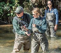
- Fishing
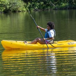
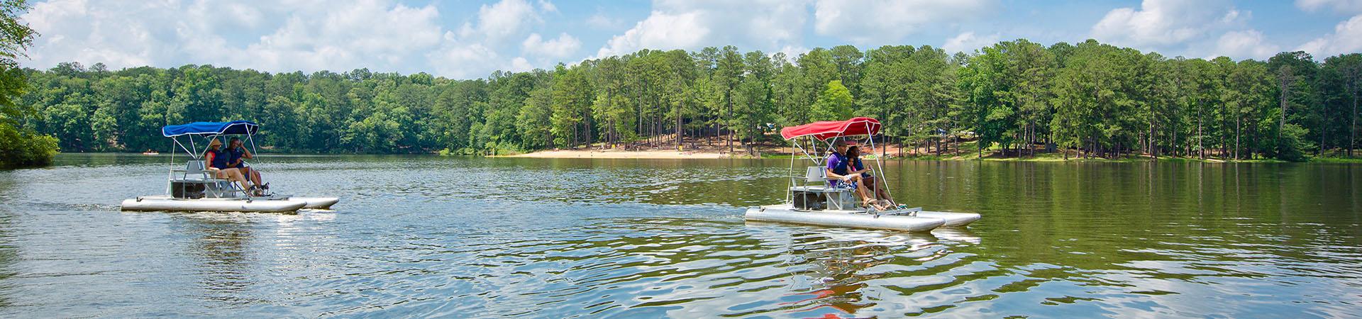
- Paddling & Boating
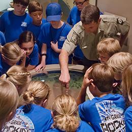
- Programs
- Picnicking
- Geocaching at Georgia State Parks & Historic Sites
- Park Paddlers Club
Nearby Attractions
- Atlanta Motor Speedway
- Callaway Gardens
- Columbus, GA
- F.D. Roosevelt State Park
- Historic Banning Mills
- Pine Mountain, GA
- Roosevelt's Little White House State Historic Site
- Thomaston, GA
- Joe Kurz WMA
- West Point WMA
Quota Hunt
Safety Zones Map PDF - If you have the Avenza PDF reader app on your phone, you can download the map, open it in that app, and it should be able to give you a location when you are at that site. Geo-Referenced maps are not always 100% accurate. They should be used in conjunction with, and not in place of, other traditional methods of navigation or personal familiarity of an area.
In The News
Paddling Information
- Distances are approximate and paddling conditions are subject to change.
- The park does not provide shuttle service. Most paddlers prefer to bring two vehicles.
- Most of the river is flat, but water levels and current vary greatly depending on water levels. Tubing is not recommended due to deep water, limbs and other objects in the water, and steep banks with few access points.
- Paddlers may wish to put in at the Highway 16 bridge boat ramp near Whitesburg for an easy-to-moderate trip down the river. They will soon pass several shoals and class I or II rapids (depending on water levels).
- The first takeout is at McIntosh Reserve, 7 miles down river.
- A boater staircase and the park’s North Platform/Paddle-in Campsites are located another mile down the river. Reservations required. No road access is provided.
- A paved boat ramp, large picnic area and West Platform Campsites are 15 miles from the Highway 16 bridge. Restrooms are within walking distance.
- Camping reservations are required and paddlers may tie boats to the ramp rail or carry them to campsites.
- Continue 2 miles to Plant Wansley and Yellow Dirt Road.
- Continue another 13 miles to Highway 27 boat ramp in Franklin.
Distances
- Highway 16 to Chattahoochee Bend campsites: 10.5 miles
- Chattahoochee Bend campsites to Highway 27: 15 miles